When: Thursday 3rd of March, 1pm AEDT
Where: This seminar will be presented online via Zoom, RSVP here.
Speaker: Asher Bender
Title: Satellite remote sensing and modelling vegetation indices for agriculture
Abstract: Optimising the input costs in agriculture is an important factor in maintaining productivity and profitability. Fertiliser is the largest seasonal cost for many Australian grain growers. It accounts for 30-40% of the total input costs per season and, as a result, farmer risk is closely linked to the price of fertiliser. This was demonstrated recently (mid-2021) when global supply constraints caused the price of urea to double over a short period.
In this seminar I will present research I have conducted as part of an industry research project with the Grains Research and Development Corporation: Future Farm: Improving farmer confidence in targeted N management through automated sensing and decision support. Future Farm is a large multi-institutional project which seeks to improve the way in which growers make fertiliser decisions.The goal is to improve productivity and mitigate risk by re-examining the decision making process from data acquisition through to analysis and recommendation.
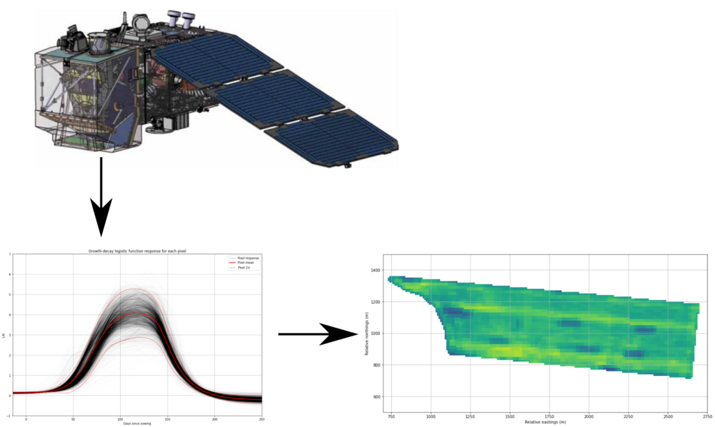
One scalable method for collecting data is to use multispectral imagery generated by earth observation satellites. Satellite observation systems are capable of generating data at a global scale with a relatively high resolution. These images can be used in agriculture by combining and transforming various spectral bands to generate vegetation indices. Vegetation indices are used as proxies for monitoring biophysical phenomena such as photosynthetic activity or canopy structure. I will present a parametric model for representing the characteristic growth and decay of vegetation indices over the course of a cropping season. I use this model as the foundation of a forecasting method that uses satellite imagery to update its predictions of future vegetation index values. These forecasts can be used to help drive management recommendations and identify variation across the paddock.
Bio: Dr Asher Bender is a post-doctoral researcher at the Australian Centre for Field Robotics. His research interest is in applying machine learning to solve high-level problems using data collected by autonomous systems. He has worked in marine robotics, intelligent transportation and is currently doing research in agricultural robotics.